Explore the Virginia Zoning Atlas.
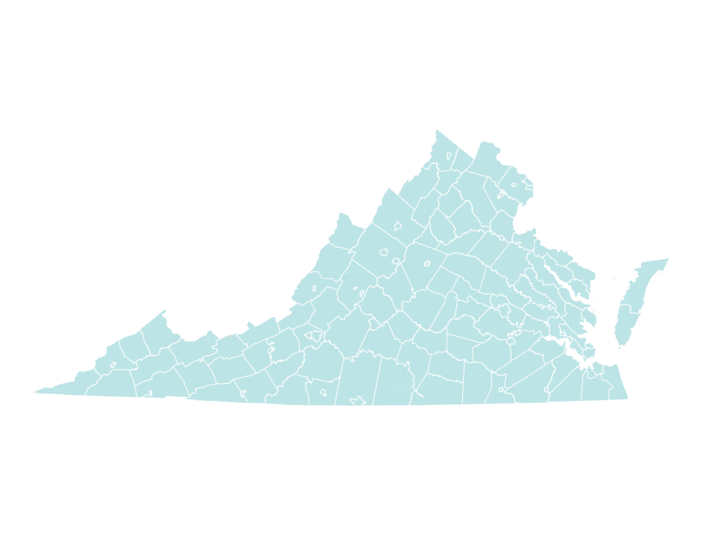
Hampton Roads, Northern Virginia, and Greater Richmond are live on the Virginia Zoning Atlas. Explore our findings on single-family-only zoning, mixed-use and multi-family zoning, accessory dwelling units, transit access, affordable housing needs, as well as population, housing market, and jobs trends.
About
HousingForward Virginia has recently joined the National Zoning Atlas Research Collaborative to spearhead the creation of a Virginia Zoning Atlas (VZA). A zoning atlas is a large-scale, interactive map which displays municipal land use ordinance zones, or zoning districts, across all localities in a region, state, or country. While the Atlas will unlock many different research and advocacy opportunities, HousingForward will first incorporate it into ZONED IN, a zoning education initiative, as a core educational resource to visualize and investigate the impacts of restrictive zoning on housing affordability.
Zoning Atlases have already been completed in Connecticut, Montana, and New Hampshire.
As of October 2024, the beta version of the Virginia Zoning Atlas is live and covers the Hampton Roads, Northern Virginia, and Greater Richmond regions. The HousingForward team is working on the Petersburg Tri-Cities region and expects to complete it in the near future.
FAQ
How do you make a zoning atlas?
HousingForward Virginia has joined a growing number of research groups across the nation, who are utilizing a zoning analysis methodology created by Dr. Sara Bronin and her colleagues at Cornell University. The most recent methodology can be found here.
This methodology is being utilized in order to standardize zoning ordinances across localities and states, eventually resulting in a National Zoning Atlas. The current methodology focuses on residential uses, exploring the availability of land for diverse housing types and the restrictive nature of residential building requirements (e.g. minimum lot requirements, setback requirements, etc.).
However, the VZA presents an opportunity for future analysis for other land use questions and policy analysis, including transportation oriented development, environmental justice, health equity, and economic development.
The time and effort required to complete the VZA is significant.
It requires a general understanding of land use and zoning, as well as proficiency in geospatial analysis. Thousands of pages of zoning ordinances must be read through carefully and analyzed. Geographic data needs to be collected and sometimes created. As well, information can be hard to track down and may only be stored on paper in a physical location in some cases. In the case of the New Hampshire Zoning Atlas, it took a team of student interns and experts over a year to complete the atlas for 10 counties, 13 cities, 221 towns, and 25 unincorporated places.
In Virginia, there are 95 counties, 38 independent cities, and 190 incorporated towns.
With this in mind, we expect it will take us at least a year to complete the Virginia Zoning Atlas.
Tracking Zoning Ordinances and Transparency
The methodology created by the National Zoning Atlas also involves analyzing the breadth of zoning ordinances. This involves keeping track of the number of pages a zoning ordinance contains and the number of districts (including overlay districts). Tracking these metrics helps evenly distribute work to team members and demonstrates the level of effort assembling the atlas took.
Additional information on zoning ordinances can be helpful to understand the need for major changes and more transparency in land use. Including the year when a zoning ordinance was adopted can help show the glacial nature of ordinances compared to rapidly changing communities, while the lack of zoning data access can show issues in public transparency.
Why is HousingForward doing this?
HousingForward Virginia has been a go-to resource for governments, non-profits, and private companies with a vested interest in affordable housing across the Commonwealth. Sourcebook, our free, online compendium of demographic and housing data, has been used to better understand housing needs. In addition, our Inclusionary Zoning Guidebook has helped educate Virginians on the opportunities and challenges of implementing inclusionary zoning. Furthermore, our contract research work has taken us across Virginia to understand the discussions and debates over zoning and the overall housing needs of Virginians.
The growing focus on land use practices and their impact on affordable housing has presented HousingForward with an opportunity to help Virginians better understand this connection. The VZA is aligned with our mission to provide free and impactful resources to better understand housing needs. But it is our hope that the VZA will provide boundless opportunities to others interested in exploring Virginia’s land use patterns.
What is our role?
HousingForward is serving as the lead organization for the VZA, dedicating staff time and resources to project management, analysis, promotion of the VZA, and fundraising to support its development and maintenance.
As always, HousingForward welcomes collaboration and partnership from other organizations and institutions interested in helping to assemble the VZA.
How restrictive is land use regulation in Virginia?
The purpose of the Virginia Zoning Atlas is to answer major questions related to land use practices and housing development in the Commonwealth. By standardizing zoning districts across Virginia, HousingForward will be able to answer several questions important to the work of our audience, including:
- How much developable land is dedicated to single-family detached housing?
- Where in Virginia is it easiest to build small homes or starter homes?
- How restrictive is land use policy in Virginia for the development of two-family homes? Accessory dwelling units? Multi-family buildings?
- How much developable land in Virginia prevents the placement of manufactured homes on single lots or in parks?
The VZA will allow for comparisons across jurisdictions and open the door to investigations of land use policies beyond just housing. With standardization, we can better understand patterns at the regional and statewide levels.
When will the Zoning Atlas be complete?
Completing the zoning atlas will require analysts to read through hundreds of pages of zoning code ordinances, track down geographic data, and conduct analysis and reviews. We hope to complete the work in just over a year.
Where will the Zoning Atlas be hosted?
Once completed, the Virginia Zoning Atlas will be hosted here on the HousingForward website. The completed project will look like a version of other existing state atlases, such as the New Hampshire Zoning Atlas.
Who is the Virginia Zoning Atlas for?
The current iteration of the zoning analysis methodology is geared towards residential uses. Therefore, the atlas will largely benefit those who have an interest in housing (e.g. developers, builders, housing nonprofits, advocates, land use lawyers, etc.). The map will detail where different types of residential uses are allowed or prohibited.
How is this work being funded?
HousingForward Virginia is relying on grant funding to support staff time and resources in managing the development of the Virginia Zoning Atlas. The Mercatus Center at George Mason University has awarded a $25,000 grant to support the Virginia Zoning Atlas. Mercatus is also dedicating staff time to completing the Northern Virginia region of the VZA.

Several other organizations have contributed large amounts to support the completion of the Hampton Roads portion of the Zoning Atlas, including Sentara Health and the Hampton Roads Community Foundation.

HousingForward has also received commitments from long-time supporters of our other work, including Virginia Housing and Wells Fargo.

How can I help?
A project of such scale as the Virginia Zoning Atlas needs time and money. If you find yourself in a position to contribute financially, please consider doing so. If you have time to spare, contact us to learn more about volunteering to analyze zoning ordinances or clean up GIS files.
Donate to the Virginia Zoning Atlas
You can directly support this work by donating to HousingForward Virginia. Please include a note indicating that your donation is for the Virginia Zoning Atlas.